Tibet Maps
Tibet Autonomous Region lies in the southwest of China and in the Qinghai-Tibet Plateau,with a land area of 1.22 million square kilometers (the second largest region of China), It is bounded to the north by Xinjiang Uygur Autonomous Region and Qinghai Province, Sichuan and Yunnan to the east, to the south and west by these countries: Burma, India, Bhutan, Sikkim and Nepal. Our Tibet Map shows the location of Lhasa as well as other major tourist cities in Tibet.
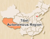 Tibet Location Map
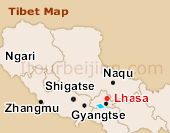 Tibet Map
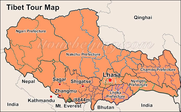
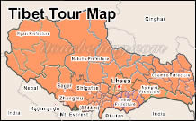 Tibet Tour Map
 Pre | Next
Your Question & Quick Answer*We welcome and appreciate your questions & reviews


Booking Procedures | Terms & Conditions | Payment Methods | Links | Site Map | About Us | Contact Us | Travel Agent
Copyright 2008, All rights reserved.. itourbeijing.com ,china map, china cities maps
TEL: 86-10-85711972 (Universal) 1-888-288-9328 (North America) E-mail: contact@itourbeijng.com
Home | China Tours | Beijing Tours | Tibet Tours | China Travel | Beijing Travel | Shanghai Travel