Xinjiang Maps
From the China Map you can see that Xinjiang takes up a large area in northwestern China. Xinjiang Uygur Autonomous Region is in western China which borders Tibet. Its 1.66 million square kilometers represent about one-sixth of the total territory of the country, making it the largest of China's regions and provinces. Xinjiang also has the longest boundary among China's provinces and autonomous regions and shares 5,600 kilometers of frontier with the other countries of middle Asia. Urumqi is the capital city.
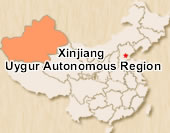 Xinjiang Location Map
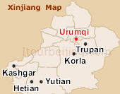 Xinjiang Map
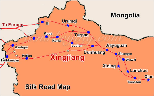
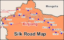 Xinjiang Tour Map
 Pre | Next
Your Question & Quick Answer*We welcome and appreciate your questions & reviews


Booking Procedures | Terms & Conditions | Payment Methods | Links | Site Map | About Us | Contact Us | Travel Agent
Copyright 2008, All rights reserved.. itourbeijing.com ,china map, china cities maps
TEL: 86-10-85711972 (Universal) 1-888-288-9328 (North America) E-mail: contact@itourbeijng.com
Home | China Tours | Beijing Tours | Tibet Tours | China Travel | Beijing Travel | Shanghai Travel